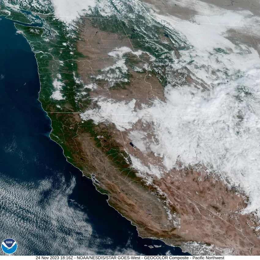
Thanksgiving Day was nice, but chilly, and this morning was on the icy side with the low dipping down to near 27F. A sharp, high-pressure ridge over the area means today will be another sunny day with highs in the mid 50s, and tonight will be another clear night with some dry easterly winds 4-8, with lows falling to near 34F tonight.
The ridge will build stronger tomorrow, so we see sunny skies again with the winds dying off, the high again near 54F, a repeat for tomorrow night with clear skies and east winds 4-8, the low down near 35F.
The ridge continues to dominate the pattern Sunday, so the sunny skies remain, as does the east winds 4-8, the high near 55F. A few clouds Sunday night bringing partly cloudy skies, light winds, lows near 35F.
The ridge shifts over the top Monday as a low pressure area develops in the Pacific to the west of the ridge and west of Oregon. With this, we manage to get one more sunny day with the high near 55F. We see partly cloudy skies that night with a slight chance of rain as the low pressure area bullies its way towards the south Oregon Coast, the low near 35F still.
By Tuesday the low pressure area is nearing the southern Oregon or northern California coast which gives us a better chance of rain with a high near 54F. Mostly cloudy skies Tuesday night, a slight chance of rain, lows near 36F.
There is still a chance we could see some rain from that low pressure area to the south Wednesday under partly sunny skies, the high near 52F, mostly cloudy with a chance of rain Wednesday night, lows near 36F.
The low weakens and pushes inland Thursday of next week, giving us a better chance of rain in the process, the high near 51F, lows near 35F.
The long range models suggest next weekend could again be wet!
REMINDER: There is a Beach Hazard Statement in effect from 10AM today through Sunday afternoon for an increased risk of sneaker waves. The beaches could see 9-11’ wave highs moving in towards the beaches, especially around Sunday morning, pushing the surf higher up the beach, unexpectedly. Added to this we are in a period of Astronomical High Tides and the risk becomes even greater. With these increased waves, we could also see some Tidal Overflow Flooding in all the usual spots due to a positive anomaly on those already higher tides.
NWS Beach Safety Message: Sneaker waves can run up on the beach, lifting or rolling large heavy water-soaked logs which can lead to serious injury or death. Also, keep children and pets away from the surf zone. Keep off of jetties, rocks and logs near the surf zone. If you see someone swept into the sea do not swim in after them. Call 911 and keep an eye on them until help arrives.


