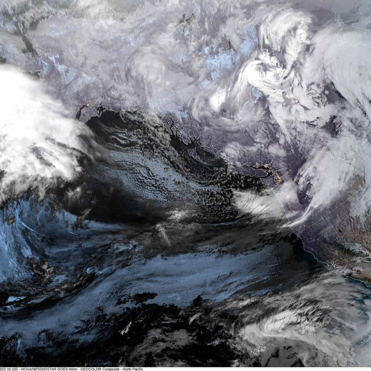
Monday, November 28, 2022
To make up for the late start of Fall, Mother Nature has started Winter early. This week will be marked by rain, mountain snow, and cold temperatures, especially in the early morning hour.
Today we saw scattered showers that gave a dusting to the higher passes of Highway 6 and 26 in the early morning hours with heavy snow over in the Cascades. The snow level did rise some with daytime heating but will fall again tonight to around 700’. This makes accumulating snow likely late tonight in the passes with a low-level rain/snow mix possible starting in the early morning hours tomorrow with the low temperatures dropping to near 31. Fortunately, the shower activity should be becoming more widely scattered with a weak ridge moving thru.
Tomorrow morning, we see that slight chance of showers with the snow level slowly climbing to near 1800’ in the afternoon but then in comes another system dropping southward. Winds tomorrow from the south 4-8, the high near 45. Tomorrow night we see more rain and gusty south winds 15-20 gusting to 35, gusts to 45-50 possible at the beaches, the low near 36. Snow is possible though in the higher passes tomorrow night, late.
Wednesday looks rainy, the snow level, which had pushed up to around 3500’ starts to fall again, dropping to near 2500’ in the afternoon. Winds Wednesday southwesterly 15-25 gusting to 35-40, higher gusts to 55 possible at the beaches, highs near 40. We transition to showers with possible thunderstorms Wednesday night behind the front, the snow level down to near 1700’ so the summits could be seeing snow again by sunrise when the level could be down to near 1400’, or lower, the low down near 33.
Thursday another upper-level low pressure area brings a return of the rain midmorning the snow level around 1400’, the afternoon high near 44. Thursday night the rain continues and the low drops to near 33 degrees so the snow level could be down around 1000-1300’, occasionally lower, especially around daybreak Friday, meaning the passes are likely to see 1-3” of snow at the higher levels.
Friday, we get yet another system bringing in more rain, but it is warm rain, so the snow levels start to climb, up to near 1500’ that morning and 2200’ in the afternoon, highs near 46. Cloudy and rainy still Friday night, the snow level up to near 3100’, lows near 35.
As for the weekend, sorry, but it continues to look rainy with daytime highs up near 46, but with lowering snow levels again as the overnight low Saturday and Sunday falls to near freezing so lower level snow is again possible with accumulating snow in the passes again also.
The long-range models say, keep the umbrella handy, it continues to look wet into next week, and cooler, the snow levels are, well, it remains too early to tell! Also, though the rain does increase the river flow rate, flooding concerns remain low.


