By Gordon McCraw, Meteorologist for the Tillamook County Pioneer
Monday, February 27, 2023
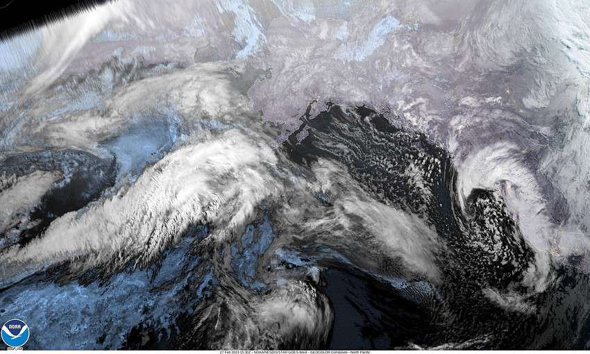
The cold, active pattern continues to bring rain and snow to the area. The snow level continues to bounce from 500-1500’ — sometimes bringing a rain/snow mix down to the surface in heavier showers. We had another front push thru this morning, then a low pressure area developed and moved northward along the front into the coast bringing more showers behind the front. There is a larger parent low pressure area further offshore, west of Oregon that is pretty much stationary that is spinning disturbances across that will enhance the shower activity.
So, tonight we can expect rainshowers with a slight chance of thunderstorms, winds westerly 5-10 but becoming westerly 10-15 gusting to 30. The showers can become a rain/snow mix as the temperature drops this evening then snowshowers are possible in the early morning hours as the temperatures continue to drop with the low down to near 32.
We see more showers tomorrow that can start out as snow showers in the morning, then a rain/snow mix later in the morning thru around noon, then rain as daytime heating pushes the snow level up around 500’. Winds westerly 8-12, highs near 41. Tomorrow night, we have a chance of showers still, progressing from rain, a mix, down to low level snow, winds northerly 4-8, the low drops to near 28. The activity does slowly diminish as a ridge of high pressure starts to move in around midnight.
Wednesday, March 1st – we catch a break with mostly sunny and dry skies, light winds, the high near 46. Wednesday night the flow becomes more zonal, and the rain returns by early Thursday morning, the lows near 33.
Thursday back to rain and breezy with the front moving across, and with the high near 47 the snow level lifts to near 2000’ finally. We transition back to scattered showers Thursday night, still on the breezy side, the snow level fall back down to near 1000’, with a mix possible lower in heavier showers, lows down to near 34.
Friday into Saturday and Sunday sees a trough of low pressure causing the development of a low pressure area somewhere off the Oregon/Washington coast so we continue to see showers with highs near 44, and with the lows dropping to or just below freezing, the snow level again drops down to, or close to, the surface with snow possible again all the way to the beaches.
As has been the case for some time now, travel across the passes this week will likely be treacherous at times with ½”, with possibly up to 1” of snow falling in parts of the passes with each band of showers that moves across. How much, if any, snow falls in the low levels, and exactly where is really anyone’s guess as things are just too close call. It continues to be an interesting winter!


