

By Gordon McCraw, Meteorologist for the Tillamook County Pioneer
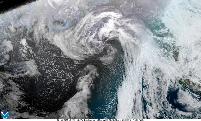
We continue to be sandwiched between the trough of low pressure to the east and the ridge of high pressure to the west, so we continue to see the northwesterly flow that ends up pushing some weak disturbances down across our area, bringing us periods of mainly light rain and rainshowers. We had another one push across this morning that gave us a little rain, then we saw diminishing moisture, and with light winds from the southwest, the snow level got pushed up to around 3300’.
Tonight, that ridge to the west builds in and helps to dry things out so we see mostly cloudy, dry skies overnight, with easterly winds 4-8, and a low near 40.
With the ridge moving over the area, tomorrow is looking dry for a change with light winds, the high makes it up to near 55. Unfortunately the dry period is a short one as another disturbances pushes in across and flattening the ridge, approaching the coast later tomorrow night, bringing back a chance of rain by around midnight, we see some light southeasterly winds, lows near 42.
Some rain is likely Sunday with mostly cloudy skies, the winds now southwesterly 5-10, highs near 52. By Sunday night the models start to head in different directions, making the forecast a little more difficult. For now, we think the rain eases Sunday night into Monday, high temperatures Sunday around 52, lows that night near 41. The issue is some of the models suggest an increased chance of light rain into Monday.
Tuesday the differences increase as most of the models suggest another ridge builds in which would indicate dryer and warmer weather, at issue is where will this ridge be exactly, and just how strong because this will influence what the weather will actually be. Because of this we say partly sunny to mostly cloudy days, with a chance of some rain for Tuesday and Wednesday, the highs near 53, mostly cloudy to cloudy nights, lows near 41.
Another reminder on the increasing King Tides that look like they are peaking right about now. Fortunately there does not appear to be any anomalies in the levels but I think there could still be some minor Tidal Overflow Flooding in a few spots so just be aware there could be some standing water in the normal Overflow areas.