Menu
  • Home
  • Breaking News
  • Feature
    • Arts
    • Astrology
    • Business
    • Community
    • Employment
    • Event Stories
    • From the Pioneer
    • Government
    • Letters to the Editor
    • Non Profit News
    • Obituary
    • Public Safety
    • Podcast Interview Articles
    • Pioneer Pulse Podcast: Politics, Palette, and Planet – the Playlist
  • Weather
  • Guest Column
    • Perspectives
    • Don Backman Photos
    • Ardent Gourmet
    • Kitchen Maven
    • I’ve been thinking
    • Jim Heffernan
    • The Littoral Life
    • Neal Lemery
    • View From Here
    • Virginia Carrell Prowell
    • Words of Wisdom
  • Things to do
    • Calendar
    • Tillamook County Parks
    • Tillamook County Hikes
    • Whale Watching
    • Tillamook County Library
    • SOS Community Calendar
  • About
    • Contribute
    • Advertise
    • Subscribe
    • Opt-out preferences
  • Post Submission Test
  • Search...
Menu

GORDON’S UPDATE: Weather 3/28/23 – A dry day tomorrow, then back to showers

Posted on March 28, 2023 by Editor
www.tillamookcountypioneer.net

By Gordon McCraw, Meteorologist for the Tillamook County Pioneer
Tuesday, March 28, 2023

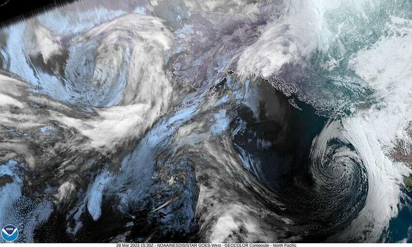
We had a deepening low pressure area dropping south along the coast today that brought the coast some rain and winds. The low continues to drop south this evening and tonight, dragging the moisture with it so we should see decreasing rain and winds tonight. With some breaks in the clouds and with some light winds, some patchy frost is possible after midnight, the lows near 36.

Tomorrow looks to be on the drier side with weak high pressure over the area, and we have some partly sunny skies after the morning fog burns off. The winds tomorrow afternoon becoming westerly 4-8, highs near 56. Look for mostly cloudy skies tomorrow night, light southerly winds, lows near 36.

Thursday, we have a weak trough of low pressure just off the coast as the ridge gets pushed east, so there is a chance of some rain or rainshowers, winds southerly 5-10, highs near 49, the snow level down around 2500’. Some rain moves in Thursday night, the snow level 2100’ with lows near 38.

Friday an upper level trough of low pressure drifts slowly across the area bringing cooler temperatures, lower snow levels, and of course, some rain that persists through the weekend, up to 1-1½” of rain into Sunday. The snow level drops to near 1900’ Saturday and down to around 1600’ by Sunday night. The high temperatures over the weekend around 48 degrees, but the lows drop a few degrees each night, falling down near 33 by Sunday night so there is a chance, once again, that the Hwy 6/Hwy 26 summits could see some snow late Saturday and Sunday night through the early morning hours.

This will also dump another 1-2’ (yes, FEET) of snow up in the Cascades, adding to some already impressive amounts. If you were planning to head thru the Cascade or Santiam passes this weekend, plan on some hazardous wintery travel…again!

Featured Video

Slide Contribute SUBSCRIBE

Tillamook Weather

Tides

Tillamook County Pioneer Podcast Series

Tillamook Church Search

Cloverdale Baptist Church
Nestucca Valley Presbyterian
Tillamook Ecumenical Service

Archives

  • Home
  • EULA Privacy Policy
  • Contact
  • Opt-out preferences
  • Search...
Share on facebook
Facebook
Share on pinterest
Pinterest
Share on twitter
Twitter
Share on linkedin
Linkedin
Catherine

Recent Posts

  • TILLAMOOK COUNTY PIONEER WEEK IN REVIEW 5/8/25

    May 8, 2025
  • Exciting News for North County Recreation District – Congratulations to Barbara McCann on Retirement; Welcome New Executive Director, Justin Smith; Special Saturday Swims this Spring to Honor Legacy Pool – May 10 & June 14

    May 8, 2025
  • "I Pledge Allegiance" ... We Take an Oath

    May 8, 2025
©2025 | Theme by SuperbThemes

Manage Cookie Consent
To provide the best experiences, we use technologies like cookies to store and/or access device information. Consenting to these technologies will allow us to process data such as browsing behavior or unique IDs on this site. Not consenting or withdrawing consent, may adversely affect certain features and functions.
Functional Always active
The technical storage or access is strictly necessary for the legitimate purpose of enabling the use of a specific service explicitly requested by the subscriber or user, or for the sole purpose of carrying out the transmission of a communication over an electronic communications network.
Preferences
The technical storage or access is necessary for the legitimate purpose of storing preferences that are not requested by the subscriber or user.
Statistics
The technical storage or access that is used exclusively for statistical purposes. The technical storage or access that is used exclusively for anonymous statistical purposes. Without a subpoena, voluntary compliance on the part of your Internet Service Provider, or additional records from a third party, information stored or retrieved for this purpose alone cannot usually be used to identify you.
Marketing
The technical storage or access is required to create user profiles to send advertising, or to track the user on a website or across several websites for similar marketing purposes.
Manage options Manage services Manage {vendor_count} vendors Read more about these purposes
View preferences
{title} {title} {title}