By Gordon McCraw, Meteorologist for the Tillamook County Pioneer
Monday, April 17, 2023
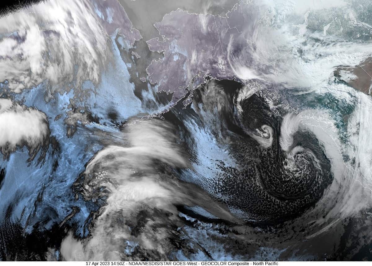
We had another fast moving front blow across this morning leaving continued unstable conditions that offered showers, some with hail, and a widely scattered thunderstorm threat, by also pushing in colder air aloft. This in turn pulled the snow level down to 2200’ this afternoon.
The unstable conditions will remain tonight so we can see more showers, some with small hail, and an isolated thunderstorm or two. The winds tonight southerly 10-15 gusting to 30, the low dips to near 36, and the snow level continues to drop, falling to near 1500’ after midnight. This means we can, yet again, see snow in the upper parts of the passes, with some sticking snow possible at the summit.
Tomorrow, we see a cold, westerly flow aloft that will continue to push in showers, some with hail still, and even the threat of thunderstorms remains. Winds tomorrow southerly 10-15 gusting to 30, highs near 48, the snow level starts to lift, up near 1700’. More of the same tomorrow night, showers, possible hail and thunderstorms, the low near 37, the snow level now up to near 2000’.
Wednesday the showers become more scattered but still with that chance of small hail and a chance of a thunderstorm or two, especially along the coastal waters. Winds now southerly 8-12, highs near 48, a few more showers and storms possible overnight Thursday, winds southwesterly 4-8, lows near 36 but the snow level up near 2000’.
The models continue to suggest a northwesterly flow aloft Thursday which would keep the threat of showers in the forecast, though the threat of thunderstorms diminishes, highs climbing to near 51, lows near 40 which also suggest the snow level will continue to climb, pushing up near 3000’.
On Friday and Saturday, it looks like a weak ridge tries to build in, but the models continue to show a slight chance of showers still, but we do see warming temperatures with the high on Saturday up near 59, and the low only down to near 45.
The models are mixed for Sunday but for now there is an increasing chance of showers on Sunday, the high near 54, lows near 42.
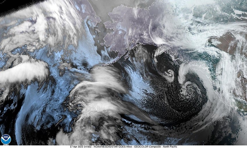
Attached is this morning’s satellite picture in which you can see the morning front and rain with the large area of showers that will follow for the next several days.


