By Gordon McCraw, Meteorologist for the Tillamook County Pioneer
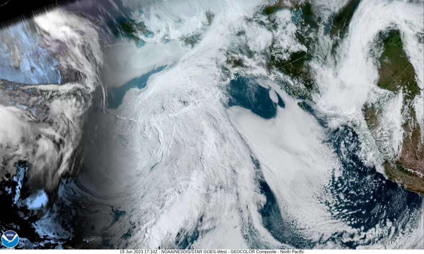
This morning we saw a trough of low pressure over the area as well as an upper level low drifting southward, just west of Oregon. The low then rode the flow and moved over Oregon, all of this contributed to another day of scattered showers. Throw in some daytime heating and we had the necessary ingredients for a thunderstorm or two, even with the cooler temperatures.
Like yesterday, with the loss of the daytime heating, and with the low pressure area moving over, then east of the Cascades, the thunderstorm threat ends this evening and the shower activity becomes more widely scattered. Winds tonight southerly 5-10, the low near 49.
Tomorrow looks to stay cool as another disturbance drops southward along the coast giving us another day of showers along with breezy southerly winds 10-15 gusting to 20, the high near 58. The trough shifts further to the east tomorrow night so the shower activity eases, then diminishes by around midnight, leaving mostly cloudy skies with southerly winds 5-10 becoming light and variable after midnight, lows near 49.
Wednesday things start to warm up some under mostly sunny skies, winds becoming northwesterly 5-10, the high near 66. Then with a mostly clear night, the low drops to near 51. Wednesday also happens to be the day we see the longest day, or most hours of sunlight of the year, and the North Pole is at its maximum tilt. Another name for this is “Summer Solstice”. In more simple terms…we call it the First Day of Summer!
Thursday looks sunny and 74, then we see a weak trough settling over the region that cools things down just a little, so we see partly to mostly sunny skies for Friday through the weekend with high temperatures in the mid to upper 60s, then partly to mostly cloudy nights, lows down around 50.


