By Gordon McCraw, Meteorologist for the Tillamook County Pioneer
The low pressure area continued to inch its way into the coast just north of Vancouver Island which spun a dying front across the area that gave us some rain yesterday with some patchy rain even dropping in the valley overnight. Now we have another ridge of high pressure building that will bring mostly clear skies tonight with light winds, lows near 51.
Tomorrow the low moves into Western Canada and we see a zonal flow over our area which enhances the onshore flow, so we see sunny skies with the winds becoming northwesterly 14-18 gusting to 30, the high near 68. The flow pushes in and thickens the marine layer so we see cloudy skies with a chance of patchy fog and drizzle starting around midnight, the winds diminish, lows again near 51.
Some patchy drizzle possible Thursday morning but the clouds burn back before noon. We see a mostly sunny afternoon with the winds becoming northwesterly 5-10, the high near 67, the ridge continues to build and brings a partly cloudy night with calm winds, lows near 53.
The ridge of high pressure will dominate the weather pattern Friday on through the weekend though some of the models are now showing another low pressure area dropping down from the Gulf of Alaska with the center moving into northern Washington. For now though, we will go with the majority of models and let the high pressure ridge continue to influence the forecast. So, Friday through the weekend, we go with mostly sunny days and partly cloudy nights, highs near 68, lows near 53 through Monday.
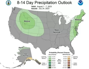
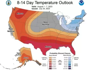
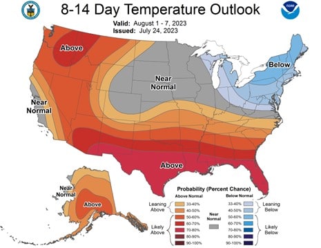
The Climate Prediction Center suggests the first week of August will be warm and continued dry. Next week I will pull up their new Seasonal Outlook.


.png)