

By Gordon McCraw, Meteorologist for the Tillamook County Pioneer
Yesterday was a warm one for many, again! Astoria was 79 and Tillamook was 84. There were many more records set or tied yesterday again, Eugene hit 105, Portland and Hillsboro hit 103, Salem and Troutdale hit 102. Some overnight low temperatures set records as well in many of the same places. Fortunately for you folks west of the Coast Range, the onshore flow has helped, and continues to help to cool things down here at the coast. The valley is still looking at temperatures in the upper 90s to near 100 today, their relief doesn’t start until tomorrow or Friday. Unfortunately, the onshore flow also led to some patchy dense fog here this morning, that took its time burning off, leaving some partly sunny skies.
The ridge of high pressure that has dominated the pattern the past few days will weaken and move northward so tonight we are looking at the clouds, then the fog returning after the winds die down, low near 56.
The onshore flow increases tomorrow so we see little clearing of the marine clouds, the winds becoming westerly 5-10 with occasional gusts to 15, the high near 72, cloudy again tomorrow night, light winds, lows near 54.
The history book heat wave will officially come to an end by Friday with cooler and more seasonable temperatures at the coast and inland. For Friday Tillamook will see mostly cloudy skies with the winds becoming northwesterly 10-15, the high only near 69. Then the marine clouds increase again Friday night, light winds, lows near 50. Over in the valley, the temperature will moderate with highs in the low to mid 80s.
The models have still not settled onto one solution yet, but it appears a trough of low pressure will drop down into British Columbia over the weekend, giving us sunny skies Saturday with a high near 71, then we may see a slight warmup on Sunday as a weak ridge moves across, the high near 76.
The start of next week we likely watch another trough off the coast associated with a low pressure area up off the coast of British Columbia. For now, we likely see mostly sunny skies with highs near 72, and mostly clear nights, lows near 52. And the valley, well, they will still be around the mid 80s.
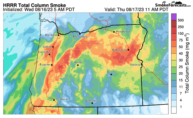
As far as the smoke forecast, it appears, along the coast, a thin layer of smoke will be drifting northward, but it also appears some more dense smoke will impact the south coast areas this evening and could possibly impact the Tillamook area tomorrow morning. This smoke will be in the upper atmosphere though. Also, just as a reminder, if you are headed over to the valley, there is still an Air Quality Advisory with areas seeing readings in the Moderate, to sometimes Unhealthy category.