By Gordon McCraw, Meteorologist for the Tillamook County Pioneer
Well, how hot you ask? Here is my HEAT forecast:
The Tillamook area will be in the mid 70s today, but tomorrow and Monday the high temperature maybe up to 87-88 degrees. The winds tomorrow likely shifting to northeasterly and gusty. Tuesday things start cooling back down with highs ONLY in the mid to upper 70s.
The Coast Range up in the mid 80s, then up in the mid 90s tomorrow, and up near 100 Monday with those northeasterly winds, then mid 90s Tuesday, and down around 90 after that thru the end of next week.
Portland around 90 today, then around 101 tomorrow, peaking at 105 Monday, 102 Tuesday, then back down around 90 the rest of the week.
Moving into the central valley, I have a good friends in Gates, they are looking at 90 today, but 101 tomorrow, and 106 Monday, 101 again Tuesday, then the upper 90s Wednesday and Thursday, and back around 90 Friday.
My home town, Lebanon, along with areas like Sweet Home and down towards Eugene who will be seeing similar conditions: 91 today, then 102 tomorrow, booming at 106 Monday, back to 101 Tuesday, the upper 90s Wednesday and Thursday, back to around 90 Friday.
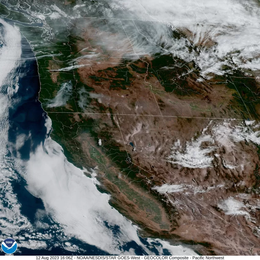
There are several Advisories, Watches and Warning through the state related to the heat and fire concerns. A look at the satellite picture shows the smoke from the wildfires is visible in the southwesterly part of the state.


