

By Gordon McCraw, Meteorologist for the Tillamook County Pioneer
Weekend Update
Well hello Tillamook, we all made it to Thursday! But, I am afraid I will not be doing a Podcast today, you require a voice for that and mine seems to have abandoned me for now, thanks to the crud I have picked up.
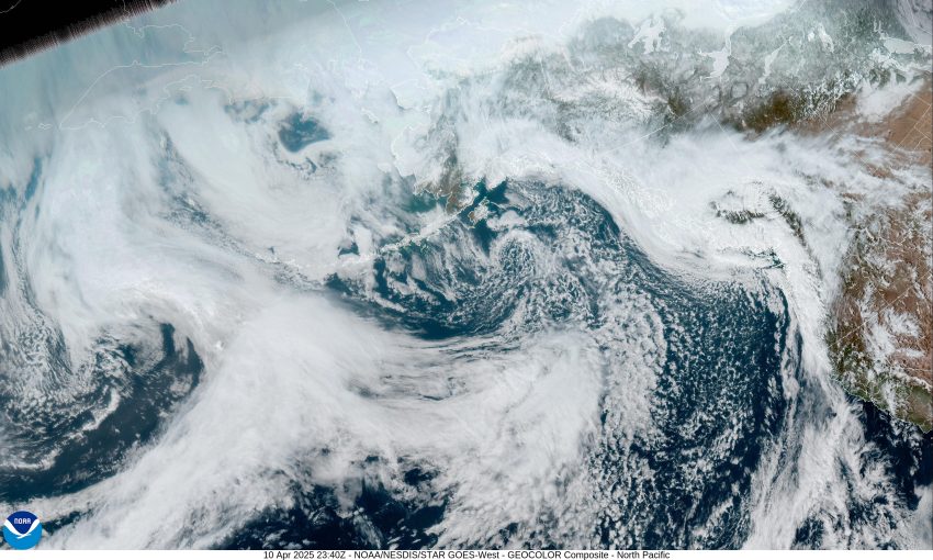
Looking at the satellite picture tells the story for today; the ridge that gave us the nice weather yesterday has slid off to the east while a tough of low pressure, and its associated front, moves across the area. The end result is, we have seen some mainly light rain today. There is still a slight chance of rain tonight as another high pressure ridge starts to move in. With that we see a diminishing rain chance tonight that ends before midnight, the winds diminish, then some patchy fog is possible in the early morning hours, the low near 42.
Tomorrow, conditions continue to improve though we do see cooler temperatures, that patchy morning fog possible through mid morning, otherwise look for a mostly sunny day with the winds becoming northwesterly 5-10, tomorrow’s high only near 53. Tomorrow night, with calm winds and partly cloudy skies, the low drops to near 39.
In comes a slight chance of showers on Saturday as a weak disturbance rides the flow across the area, the high near 54, then mostly clear skies Saturday night signal radiational cooling will allow the overnight lows to drop down to near 36, with some patchy morning fog possibly giving us a slight chance of frost also.
By Sunday we can enjoy another high pressure ridge bringing in some mostly sunny skies and warmer temperatures, with the afternoon high temperature forecasted to reach 63 Sunday, but up to near 66 on Monday. Overnight lows are warming some also, only down near the mid 40s.
The nice weather looks like it hangs around through at least the middle of next week.
That’s it for this report Tillamook, I hope you have a great weekend and I’ll see you Monday.