

By Gordon McCraw, Meteorologist for the Tillamook County Pioneer
We had yet another day with the morning low temperatures dropping into the upper 20s along the coast, and over in the valley, as high pressure remains anchored over the region. It looks like we will have a couple more days of these fair but cold mornings and sunny cool days before we finally see a pattern change midweek, with a return to cloudy and rainy conditions, with a chance of snow in the forecast for the end of the week.
So, another clear night tonight that, with the radiational cooling and calm winds, allows the overnight temperatures to drop again, and with early morning temperature dropping to near 31, more frost is likely by daybreak.
Sunny skies return tomorrow after the morning frost, calm winds still, the afternoon high near 54. A repeat tomorrow night with clear skies and calm winds, the low drops to near 31 and that early morning frost returns.
While Wednesday the high pressure ridge gives us another sunny and mild day with calm winds and a high near 52, we will be watching a low pressure system and the associate trough moving to the east well west of the Oregon coast. That night we still have some partly cloudy skies and calm winds, the low dropping to near 32.
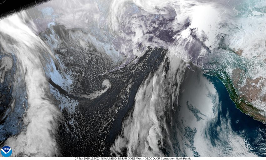
Thursday a system is dropping down from British Columbia and absorbs that low before approaching the coast and bringing an increasing chance of rain. Rain likely by Thursday evening, the high near 49, a rainy night, lows near 40.
By Friday, the cold air is getting pushed in by the cold front dropping down, so we remain cloudy and rainy with highs near 52, lows near 39. The temperature is lower Saturday, still rainy, highs near 48, lows near 34. This means that there could be snow overnight and in the early morning hours Saturday in the Coast Range Passes, the question this far out is, just how low will this snow fall. There is a slight chance of a low level rain/snow mix in the early morning hours Sunday before the temperature rises, then again Sunday night as the temperature falls to near freezing again.
As is always the case, all the right elements have to fall into place for low level snow near the coast. This far out, it is just something to watch over the next couple of day! Stay tuned … we’ll have a Gordon update later in the week.