By Gordon McCraw, Meteorologist for the Tillamook County Pioneer
Happy President’s Day everyone, and what a difference a week makes. Last week at this time, we were all dealing with morning temperature in the 20s, with the potential of frozen precipitation by the middle of the week. While we are seeing showers this evening, last night’s low temperature was 48 and no frozen precipitation is in the forecast. The only places dealing with frozen precipitation right now is in the Hood River area and over in the Cascades.
So, while we did see rain today, this evening we see some scattered showers with the continued onshore flow with calm winds, the overnight low drops to near 41. The Beach Hazards Statement for an increased Sneaker Wave Hazard expired at 4pm though there is always a chance along our coast, just not a high of a chance.
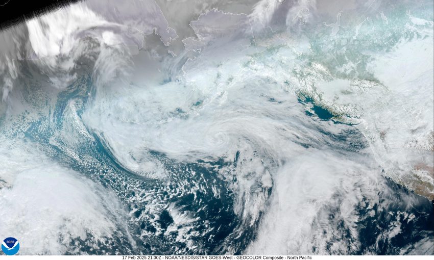
Tomorrow, we see another weather system bringing back the rain, the winds becoming southeasterly 4-8, the high near 51. Still rainy tomorrow night and we see the potential of a low pressure area developing and deepening just offshore giving us some gusty southeasterly winds 5-10 gusting to 20, the overnight low near 44.
Wednesday is still rainy and breezy with southerly winds 8-12 gusting to 25, the high near 51. If that low pressure area spins up stronger than currently forecasted, we could see winds along the coast possibly gusting up to near 50 though the chance is currently pretty low. By Wednesday night we transition over to showers, they ease overnight, lows near 41.
The shower chance eases further Thursday as a high pressure ridge builds in under mostly cloudy skies, the high near 52, a slight chance of showers Thursday night, lows near 39.
Friday there is a chance of showers from a front that passes mainly to the north, highs near 56, lows near 43.
Sorry to say, another system, that appears to set up as a weak atmospheric river, brings back the rain for the weekend, so Saturday and Sunday look cloudy and rainy, highs near 55, lows near 45. Exactly how much rain, and exactly when the heavier precipitation arrives, is still being worked out in the models but we are currently looking at somewhere between just under an inch of rain to as much as 2” of rain in a 24hr period sometime this weekend. Obviously, river flow rates increase during this period but flooding concern remain low.


