

By Gordon McCraw, Meteorologist for the Tillamook County Pioneer
Well, we had a strong front push through yesterday that gave us over 1” of rain in town, 3” up in the Coast Range and this drove the Wilson River up to near bankfull last evening. It is receding now and is not forecasted to significantly rise again with this next system. There were also some strong winds associated with the system. The airport saw winds gusting to near 43 with some gusty winds at the beaches as well.
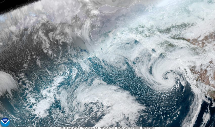
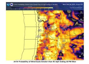
This morning, we had another warm front race northward through the area that gave us another .14” of rain but little in the way of winds. This is followed by an associated cold front that is expected to bring another 1-2” of rain to the coast, and around 2-3” of rain in the Coast Range. Again, this additional rain is not expected to be heavy enough to drive the rivers up significantly, so no Flood Warnings are expected. Though the front passed through late this afternoon or evening, bringing gusty winds and lingering scattered showers, the parent low pressure system west of Oregon will be moving closer to the coast tonight, then the track turns northeastward toward Vancouver Island, but still brings us some potentially dangerous and damaging winds. These winds are expected to become southwesterly 25-30 gusting to 45 this evening and then 30 to 35 gusting to 55 tonight. Winds along the beaches could be gusting as high as 70 tonight so falling trees and power outages across the area, especially in the coastal communities, are definitely a possibility as the winds ramp up later this evening and tonight. Obviously, this has triggered a High Winds Warning for all of Tillamook County that is valid through 4am Tuesday. Also, the low pressure area, and the increased winds, have caused the National Weather Service Marine folks to issue a Storm Warning for the offshore and coastal waters until 4am tomorrow morning, and there is a High Surf Warning in effect from this evening through noon tomorrow because of the dangerous surf conditions expected from the 34’ breakers forecasted.
The winds will slowly ease tomorrow morning as the low pressure area weakens and moves inland, the winds to become southwesterly 15-20 gusting to 35 by sunup and continuing to diminish, becoming westerly 8-12 in the afternoon. We continue to see some showers rotating across the region with afternoon highs near 52, the shower activity ends by tomorrow night, and so do the winds, and with the partly cloudy skies, the lows drop to near 38.
Wednesday, we see an upper level ridge over the area so look for a mostly sunny and mild day with the high up near 62, with light southeasterly winds. It looks like a weak system will ride over the ridge Wednesday night giving us a slight chance of a shower or two through Thursday morning. Friday on, the models have to deal with a cutoff low pressure area west of California as we continue to see disturbances riding over the flattening ridge, giving us a good chance of showers for the weekend. High temperatures continue in the upper 50s, lows in the low 40s.
Now, a final word about the High Surf Warning. If you absolutely must go around the beaches, these incoming strong waves can wash over the beaches, the jetties, and push the heavy logs high up the beaches, making the beach a very dangerous place. It is possible to be swept off the rock, jetties, and logs, then get pulled out into the ocean while trying to watch the high surf. Obviously, sneaker wave and rip current hazards are increased also. In the past, these high surf conditions have caused beach erosion and damaged some coastal properties and buildings. All these conditions are amplified during high tide times, which will be late morning and again near midnight, today and tomorrow.