
.png)
By Gordon McCraw, Meteorologist for the Tillamook County Pioneer
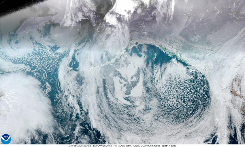
That low pressure area remained just west of Vancouver Island and continued to rotate showers across the area today. We also had a cold trough of low pressure resting over the area giving us cold surface temperatures also, which pushed the snow level down in the early morning hours which caused accumulating snow below 500’ as the surface temperatures in Tillamook drop to near 32. This morning the Tripcheck webcam was showing heavy snow at Lees Camp and was reporting 8” of snow roadside at the summit. The snow level lifted with daytime heating, up near 1500’ in the afternoon with the daytime high temperatures reaching the low 40s in Tillamook and up to or just above 32 at the summit. With heavier showers, the snow level temporarily dropped to around 1300’. The snow level will fall again tonight with the overnight low dropping to near 28 so low level flurries can be expected.
Now early tomorrow morning the low will have drifted south to off the Oregon/Washington Coast and this will bring a better chance of snow across the north Coast Range starting late tonight into tomorrow morning with another 1-2” expected. The high tomorrow again in the low 40s, that low drops into the upper 20s once again.
That low pressure area will still be off the Oregon/Washington Coast Wednesday and will continue to push bands of showers over the area and as the low becomes more elongated, we will see an easterly flow develop that will push more cold area across so not much changes, still with the periods of showers so there is a chance of early morning low level snow or snow flurries with minimal accumulation, with accumulating snow across the passes, especially at night and in the early morning hours. Highs Wednesday in the low 40s, lows back down near 29.
It looks like the low will finally start to move inland Thursday into Friday but still with the northwesterly flow over us, we can expect scattered showers moving through and with the cold temperatures that drop to near 29 at night, nighttime and lower level morning snow remains possible with more snow across the Coast Range passes likely. The afternoon high here still in the low 40s with the highs at the summit up near 34.
The pattern changes little Friday though that developing colder east wind will cause daytime highs to still only reach around 44, and the lows still falling to around 26. And…the weekend sees little change, the snow level falls down to sea level at night with lows in the upper 20s, and then the snow level climbs during the day with the highs in the mid 40s during the afternoon. With rain and rain showers still likely, that snow pattern remains about the same.