By Gordon McCraw, Meteorologist for the Tillamook County Pioneer
Well, the onshore flow continues to push in and thicken the marine layer, so we have another day with cloudy skies and cooler temperatures. The clouds will thicken again tonight, and we likely see some patchy morning fog with the light west winds, the low near 55.
With a high pressure ridge building in, the sun returns by tomorrow afternoon; the afternoon winds becoming westerly 5-10, with the ridge and the returning sun, the afternoon high temperature climbs back up to near 70. This also brings mostly clear skies tomorrow night, light northerly winds, lows near 51.
The ridge continues to build and continues to push the temperatures up, climbing to or just above 80 on Wednesday. The afternoon winds northerly 5-10, then a mostly clear night with light winds, the low only down to near 59.
The high pressure, and the temperatures, peak Thursday with afternoon high temperatures possibly hitting the triple digits over in the valley, and up close to the mid 80s there in Tillamook, another mostly clear night expected, calm winds, lows near 57.
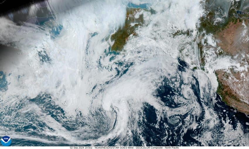
The ridge starts drifting east Friday so things start to slowly moderate with the afternoon high, still under the sunny skies, only making it up to the upper 70s, then we start to see some clouds pushing in ahead of a trough of low pressure, possibly dropping southeastward from the Gulf of Alaska, so it is looking like a few clouds for the weekend with the high temperatures continuing to moderate, falling into the mid 70s Saturday then the low 70s for Sunday, overnight lows also dropping back down towards the low 50s under partly cloudy nighttime skies.
You may have heard, Meteorological Fall started this past weekend. This is primarily for record keeping and statistical reasons and runs from September 1st through November 30th. What this does is to give us meteorologists a more consistent way to compare weather data over the year. Astronomical Fall is based on the earth’s position relative to the sun. For us, the first day of Astronomical Fall is Sunday, September 22, 2024, officially at 5:43am. This is known as the “autumn equinox” which is when the sun crosses the equator, giving that area 12 hours of day and night. Here in the Pacific Northwest, our long days have been getting shorter for a while. Today we have about 13 hours of daylight, then down to near 11 hours by the end of the month. The shortest day is on December 21 when we see about 8 hours and 42 minutes of daylight.
So, welcome to September, which some of you coastal folks refer to as the “Second Summer!” You can still expect the usual — sun, clouds, fog, rain, and occasionally breezy. The averages are, high temperatures of 66, and lows of 53, and average precipitation for the month of around 0.51”. I will remind you though, we are still in Fire Season, usually until around October 1st..


