By Laura Swanson
Two weeks ago, US Coast Guard Station Master Chief Corbin Ross invited all Tillamook Bay vessel masters, recreational operators and other stakeholders were asked to join in a discussion about the best placement of the channel markers. With over 40 people in attendance, many of the Garibaldi charter and commercial fishers, Master Chief Ross opened the discussion about the Tillamook Bay entrance, new aids to navigation and bar restrictions. “We are asking you, you’re the ones that use this bar what would you recommend, the best placements for aids to navigation,” said Ross. “We are not going to make everyone happy, but the idea is to keep everyone safe.” A robust conversation ensued with multiple captains sharing their experiences and comments. Everyone acknowledged that there have been significant changes throughout the years, and even the current maps do not show the shoaling at the mouth, and that it changes almost day-to-day, depending on the tides. The recent changes to the Tillamook Bay entrance effects all that transit, and it has become one of ths most challenging bars in the district.
There is a “path” that most boats take, not a channel, and it’s not a traditional red/green path; all agreed that they do not use the buoys for locating the “channel” but for assessing the path and timing the swell. According to Bob Browning regarding the buoy on the south side, “We use it as a reference point, a guide, not necessarily to mark route.” USCG Deputy Commander John Moriarty, Waterways Management, indicated there is funding for additional buoys, and the information from the meeting and the upcoming survey will be utilized to develop a plan for Tillamook Bay. Recommendations were made about changing positions of the buoys and possibly adding another “safe aid to navigation” buoy. “Tillamook is not a safe bar,” said Chief Ross. “No buoy placements will change that condition. We highly encourage ALL mariners participate in the survey below.”
Share your questions and concerns. For additional information, and to receive a paper copy of the survey, call 503-322-3531.
Here is the press release from USCG survey. If you or someone you know is a marine that regularly uses the Tillamook Bay bar, please have them complete the survey below.
SEATTLE — Coast Guard officials are seeking public comment while conducting a waterways analysis and management system (WAMS) review of Tillamook Bay, Ore.
The Coast Guard uses WAMS to validate the adequacy of the existing aids to navigation (ATON) system, as well as to get a better understanding of the uses of each waterway and general safety issues.
WAMS focuses on the waterway’s present ATON system, marine casualty information, port/harbor resources, changes in marine vessel usage (both recreational and commercial) and future development projects. WAMS reviews are conducted every five years on each federally designated navigable waterway.
To participate in taking a user survey you may visit the website at https://www.pacificarea.uscg.mil/Our-Organization/District-13/District-Divisions/-dpw/-wams/

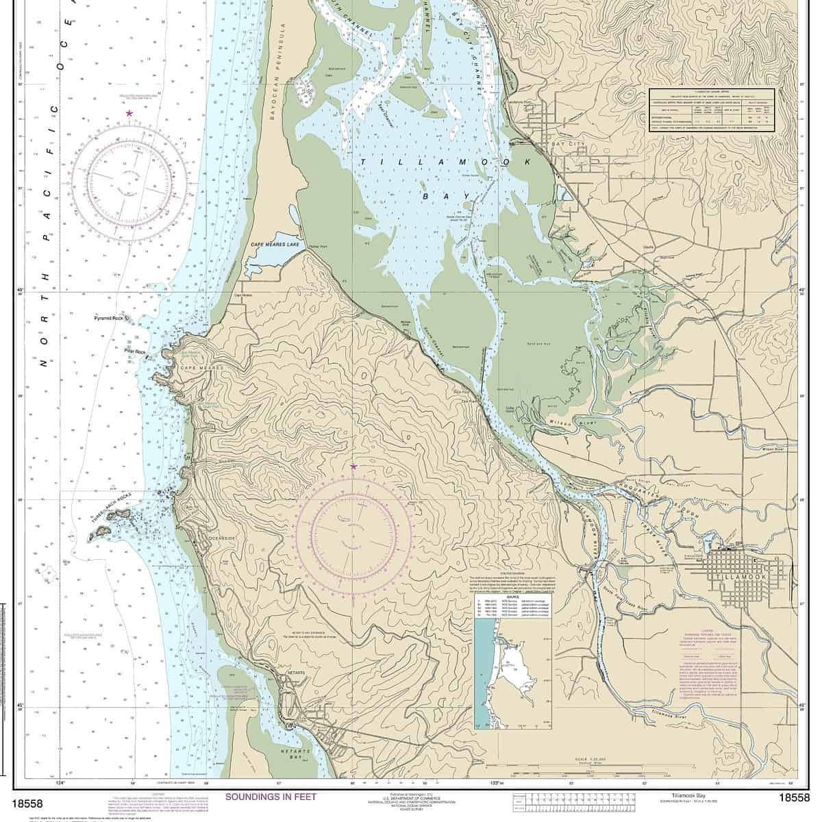
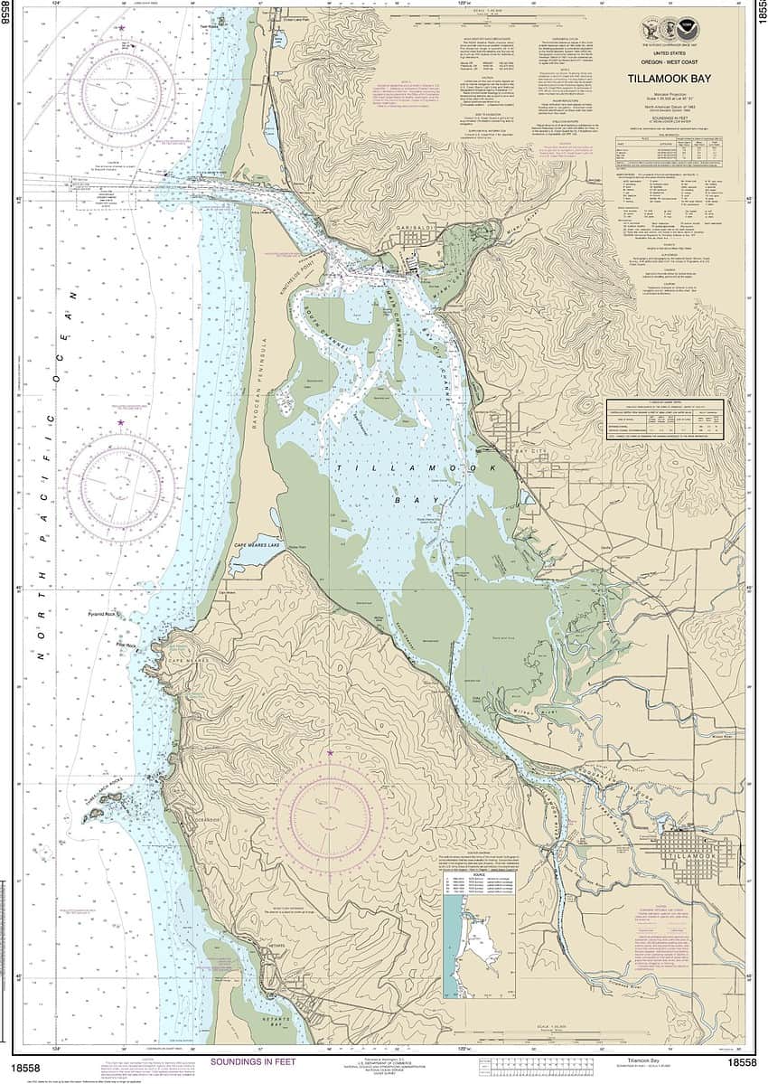
Nautical chart showing Tillamook Bay: NOAA Chart – 18558_Public
The comment deadline is July 31, 2023. The survey can be scanned and emailed or mailed to the following:
Commander (dpw) Attn: Mr. John Moriarty
Coast Guard Thirteenth District, 915 2nd Ave. Seattle, WA 98174-1067
Email: d13-pf-d13dpw@uscg.mil


