Menu
  • Home
  • Feature
    • Breaking News
    • Arts
    • Astrology
    • Business
    • Community
    • Employment
    • Event Stories
    • From the Pioneer
    • Government
    • Letters to the Editor
    • Non Profit News
    • Obituary
    • Public Safety
    • Podcast Interview Articles
    • Pioneer Pulse Podcast: Politics, Palette, and Planet – the Playlist
  • Guest Column
    • Perspectives
    • Don Backman Photos
    • Ardent Gourmet
    • Kitchen Maven
    • I’ve been thinking
    • Jim Heffernan
    • The Littoral Life
    • Neal Lemery
    • View From Here
    • Virginia Carrell Prowell
    • Words of Wisdom
  • Weather
  • Post Submission
  • Things to do
    • Calendar
    • Tillamook County Parks
    • Tillamook County Hikes
    • Whale Watching
    • Tillamook County Library
    • SOS Community Calendar
  • About
    • Contribute
    • Advertise
    • Subscribe
    • Opt-out preferences
  • Search...
Menu

GORDON’S UPDATE: Weather – Monday, 12/4/23 – Another Atmospheric River increases flooding potential tonight into tomorrow

Posted on December 4, 2023December 4, 2023 by Cara Mico, Assistant Editor

By Gordon McCraw, Meteorologist for the Tillamook County Pioneer
I guess it comes as no surprise that the rain continues. I saw rainfall totals this morning ranging from around an inch to over 2” of rain in the last 24 hours. As far as the winds go, the peak gusts around the area included a gust of 42 in Tillamook, 32 in Manzanita, and a 29 in Neskowin.

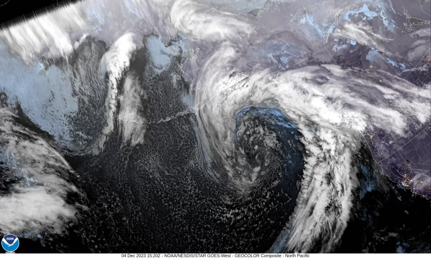
So, another rainy, breezy day with the winds gusting to 30 still, then the next in the never-ending series of atmospheric rivers moves in tonight, and will bring another round of rain, heavy at times, and gusty winds. The models still vary on how much rain this system will bring through tomorrow with some of the models actually decreasing the amount of expected rain. The uncomfortable part of the other models is that they keep the system over the area longer and you know what that would do.

The latest river forecasts have backed down a little on the maximum crest on the rivers, though the Wilson is still forecast to reach minor Flood Stage, the Nehalem is forecast to just reach Action Stage, below Flood Stage. Because of the uncertainty still, these numbers will continue to change as the models get updated. And tonight’s forecast with all this in mind, rainy, heavy at times, winds becoming southerly 15-20 gusting to 35, the low near 51.

More rain, heavy at times tomorrow, still the breezy southerly winds, the high near 59, then the rain starts to ease tomorrow night, the southerly winds decreasing and becoming light, lows near 46.

We start out with rain Wednesday as the front continues to move east then we transition to showers with possible thunderstorms Wednesday night, highs near 54, lows near 41. Thursday, we see more showers with possible thunderstorms as the unstable colder air continues to filter in, highs near 50, lows near 38.

Friday, we see another warm front trying to push into the area and force the cold air out so look for the rain to return as the snow level falls to near 2700’, so, some snow is possible in the higher Coast Range mountains. Saturday and Sunday look cloudy, rainy, and breezy with the snow level lifting as the temperatures warm after bottoming at 36 degrees here Friday night, the highs over the weekend near 53, lows up around 41.

Today we still have a Beach Hazards Statement for an increased risk of Sneaker Wave that is valid until December 7th at 4am. There is still the large area Flood Watch related to tonight’s system that is valid until December 6th at 4pm.

  • Tillamook County Weather
  • Slide Slide Slide Slide Slide Slide Slide Slide Subscribe Contribute

    Ads

    Featured Video

    Tillamook Weather

    Tides

    Tillamook County Pioneer Podcast Series

    Tillamook Church Search

    Cloverdale Baptist Church
    Nestucca Valley Presbyterian
    Tillamook Ecumenical Service

    Archives

    • Home
    • EULA Privacy Policy
    • Contact
    • Opt-out preferences
    • Search...
    Share on facebook
    Facebook
    Share on pinterest
    Pinterest
    Share on twitter
    Twitter
    Share on linkedin
    Linkedin
    Catherine

    Recent Posts

    • TILLAMOOK COUNTY CREAMERY ASSOCIATION WORK-STUDY PROGRAM CREATES OPPORTUNITIES

      June 30, 2025
    • TILLAMOOK POLICE DEPARTMENT: Damascus Man Sentenced to 28 Years for Attempted Murder of Law Enforcement Officers in Tillamook County

      June 30, 2025
    • BOOK REVIEW: Abundance by Ezra Klein & Derek Thompson

      June 29, 2025
    ©2025 | Theme by SuperbThemes

    Manage Cookie Consent
    To provide the best experiences, we use technologies like cookies to store and/or access device information. Consenting to these technologies will allow us to process data such as browsing behavior or unique IDs on this site. Not consenting or withdrawing consent, may adversely affect certain features and functions.
    Functional Always active
    The technical storage or access is strictly necessary for the legitimate purpose of enabling the use of a specific service explicitly requested by the subscriber or user, or for the sole purpose of carrying out the transmission of a communication over an electronic communications network.
    Preferences
    The technical storage or access is necessary for the legitimate purpose of storing preferences that are not requested by the subscriber or user.
    Statistics
    The technical storage or access that is used exclusively for statistical purposes. The technical storage or access that is used exclusively for anonymous statistical purposes. Without a subpoena, voluntary compliance on the part of your Internet Service Provider, or additional records from a third party, information stored or retrieved for this purpose alone cannot usually be used to identify you.
    Marketing
    The technical storage or access is required to create user profiles to send advertising, or to track the user on a website or across several websites for similar marketing purposes.
    Manage options Manage services Manage {vendor_count} vendors Read more about these purposes
    View preferences
    {title} {title} {title}