")

The Oregon Department of Forestry are closely monitoring 10 major fires in Oregon, (see table below for details). Echo Mountain and the North
Cascade complexes were removed from today’s report. Fires are removed from the list when they are 100% lined and fire managers are confident in their progress toward containment.
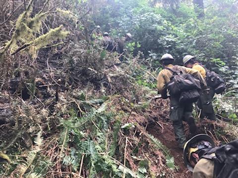
There are more than 6,500 personnel assigned to these fires from across the nation and Canada. This doesn’t include the many government emergency response employees, landowners, forestland operators, and members of the community who are contributing to the fight in whatever way they can. About 1 million acres have burned in Oregon since the start of this year, which is nearly double the 10-year average of approximately 557,811.
| Fire name | Acres burned (est.) | Containment |
Location |
| Lionshead | 192,719 | 10% | 20 miles W of Warm Springs |
| Beachie Creek | 192,012 | 20% | 15 miles N of Detroit |
| Holiday Farm | 172,510 | 10% | 3 miles W of McKenzie Bridge |
| Riverside | 137,865 | 10% | 2 miles SE of Estacada |
| Archie Creek | 130,429 | 25% | 20 miles E of Glide |
| Brattain | 44,800 | 20% | 8 miles S of Paisley |
| Slater | 41,395 in Oregon | 10% | SE of Cave Junction (also in No. California) |
| S. Obenchain | 32,833 | 35% | 5 miles E of Eagle Point |
| Two Four Two | 14,473 | 37% | W/NW of Chiloquin |
| Thielsen | 9,995 | 15% | E of Diamond Lake |
Please note: The acres burned estimates above are based very limited information available. These numbers will
change over the next several days, in some cases significantly. We will be taking every opportunity to map these
fires. Fire maps are an important tool for both ongoing response operations and keeping people informed.
More information
- ODF wildfire blog and Significant Fire Potential Map
- Northwest Coordination Center – Regional Update and National Situation Report
- Inciweb (information on individual incidents)