By Don Backman
My hiking buddy is into peak bagging, a fun sport that involves climbing to the top of the tallest hill around just so you can say you did it. I’m not a big fan of peak bagging, but it is fun as long as it doesn’t involve even “funner” things like cliff climbing, or swimming through wet (or dry) salmonberry, salal, vine maple, blackberry, and last but not least, Devils Club. Growing up on the coast and being into hunting and hiking, I’ve done enough crawling through the brush to last for a lifetime, thank you. Those who have done it know that it really can be a real… swim. So, when Mike (he said I can use his name) suggested we do a road walking hike to Rogers Peak, it sounded like fun.
Rogers Peak, located near the North Fork of the Wilson River, is Tillamook County’s tallest point. It was originally called Blue Lake Peak, then Nels Rogers Peak, and was officially named Rogers Peak in 1964. This was to honor State Forester Nels Rogers, who served from 1940 – 1949 during the height of the Tillamook Burn. The first fire was in 1933, the 1939 fire happened just before he took office, and the 1945 fire occurred while he was in office. In 1951 another fire broke out, but the firefighting preparations allowed the fire to be stopped around 32,700 acres.
I highly recommend Ellis Lucias’ photo book, The Tillamook Burn Country, for a visual history. Another resource, Tillamook Burn, a webpage created by former State Forester Doug Decker, offers a short history, too.
A quick internet search found several hike reports, and Summit Post lists Rogers Peak at #24 on the Oregon list of most prominent peaks, with a summit elevation of 3,706 feet.
The best route to take from the Tillamook area is to turn off Highway 6 at Jones Creek. Cross the bridge, then at the junction next to the park entrance, turn right onto the North Fork of the Wilson River road. Stay on that road until you reach Diamond Mill park where the road forks, with Diamond Mill road going uphill. Keep to the right on the North Fork of the Wilson which follows the river. At the bridge over the West Fork of the North Fork, turn left just before the bridge and onto the West Fork of the North Fork road, then drive to Gilmore road which is the first right fork.
Gilmore road climbs up to the top of the ridge where there is a gate. The land ownership changes from State land to Hampton Lumber Company. Hampton’s website has their access policy and it is on their signs. There are several different private companies owning timber property in Tillamook County and to access them you need to know who the landowner is and their access policy. This is important as you don’t want to trespass., and land ownership can change. It is their land, so follow their rules. Some landowners are very restrictive, and others more open. Be aware that landowners also close their land during periods of fire danger or when they have forest management activities in the area.
The plan was for Mike to drive his car as far as he felt comfortable, then park it and we would both ride in my truck which would mean masking up, opening the windows wide open, and turning up the heater full blast. However, the road was in excellent shape and Mike was able to take his car, a small Hyundai Elantra, all the way to the gate. We only met one dump truck (a huge off-road truck) on the way up. There didn’t appear to be any other traffic on that road the entire day.
You might have noticed that on logging roads, blind turns are generally wide enough for two vehicles to pass. A tip is to swing wide to your right because drivers coming toward you tend to hug their right in these corners. One doesn’t want to be driving in the track around a blind corner and meet a log truck head-on. They can’t stop as easily as you can.
A related tip is that when you can see well in a place such as a straight stretch or gentle turns with clear visibility all the way through, you should stay in the track. The track is the two grooves where the gravel is compacted. Don’t try to hug the right edge. You’ll either slide off or cut your sidewall on a sharp rock. I have seen people do both and neither worked out well. Finally, keep a mental map of the nearest pull out behind you. A car, SUV, or a pickup can back up much easier than a loaded log truck or dump truck. Along those lines, when following a truck, even on the highway, make sure that you can see the rearview mirrors. If you can’t see them then the truck driver can’t see you, so give them some room.
We parked on the ODF side of the open gate at a narrow pullout in case the gate was closed when we returned, carefully leaving enough room for log trucks and dump trucks. After gearing up, we set off. The first junction is just past the gate, and we turned to the right and left Gilmore and followed the new road uphill.
The weather forecast predicted clear skies. Anticipating a panoramic view and plenty of photo opportunities, I was carrying a 50-liter pack with camera gear and a heavy tripod. Unfortunately, it was overcast and hazy. But it was a good workout.
A couple of dump trucks were driving up and down this short section of road. This wasn’t an issue as we always had plenty of warning to get out of the way. They were working, we were recreating, and they didn’t need us slowing them down.
Fortunately, after a moderate climb, we quickly reached the next junction, turned left onto another road, one also leading uphill, and left the trucks behind. A quick check of the Gaia GPS app showed the road passed right next to the peak so we knew that we were on the right track. Climbing hills meant getting warm so we stopped twice to take layers off. At the top of the climb, the road flattened out and only gradually increased elevation. However, with the haze and clouds along with a thick line of timber beside the road, there weren’t any photogenic views. Recording video slipped my mind along here.
The short turn off to the peak itself is approximately two miles from the gate. Fortunately, the trees growing in the roadbed were old enough and tall enough that it was easy to wind our way through them.
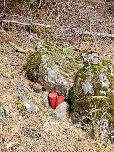
After a short walk, the road became a landing. Here we needed to turn right and climb up a short bank to the actual rock that is the peak. The summit is closed in by trees so there isn’t a view from there. 
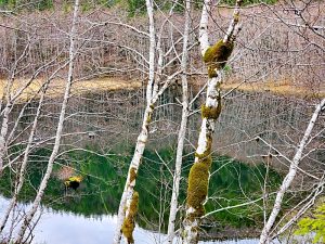
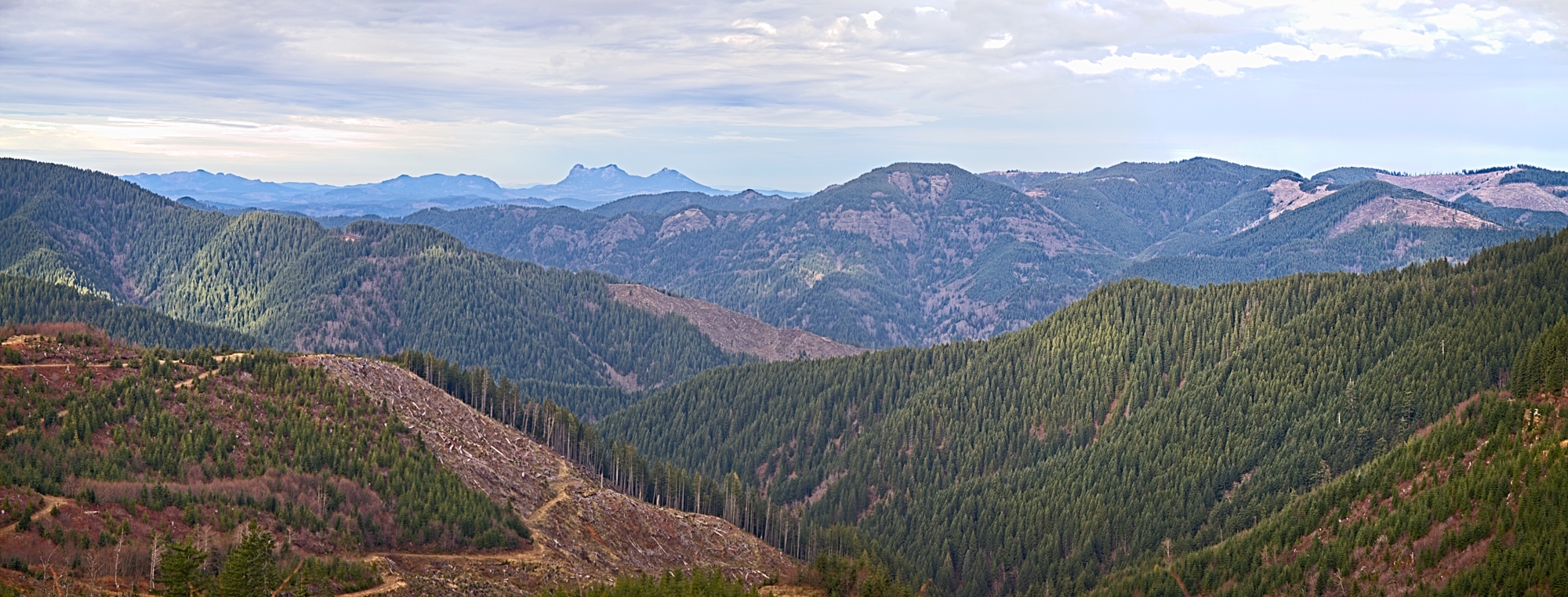
The hike is described as just over four-mile out and back because it turns around and backtracks to the vehicles. We opted to make it into a loop by dropping down the far side to Blue Lake, then returning on old railroad grades. After walking back down the short side road to the peak, we turned left. The road followed the ridge for a while and the views opened up towards Kings Mountain. The road then becomes much steeper as it drops down to the North and connects to the North Fork of the Wilson. There were views along the way but once again the clouds and haze interfered.

Heading back involved hiking back up the short section of the North Fork of the Wilson that we had hiked down and on past the road leading back up to Rogers Peak. This led to Standard Grade, an old railroad logging grade that has been converted to a road. It starts at Cochran, the summit of the Port of Tillamook Bay Railroad that is accessible by car or truck from Timber and climbs up to the top of the ridges where Storey Burn road joins it. Storey Burn road starts at the Highway 6 summit and runs North to Standard Grade. From there, Standard Grade follows along the ridges West to Gilmore road and Firebreak 8.
We followed Standard Grade back to Gilmore road, making the trip into a loop. The clouds and haze were beginning to lift and the views were improving. The dump trucks were back along this short section but as before there weren’t many and they were easy to hear and to step aside for. We finally reached the gate and our waiting vehicles after a little over 8 miles total.

There is very limited room to park at the gate, but back down the road a short distance there is a little more parking. Be sure to allow plenty of room for other vehicles such as log trucks and off-road dump trucks to pass. This area participates in the Northwest game management road closure during the fall hunting seasons so be aware that the access past the gate changes to walk-in only if you attempt this during that time frame.
The total distance was 8.1 miles. Our max elevation was the summit at 3,706 feet, and the total elevation gain (the total of uphill hiking anywhere along the route) was 1,440 feet. All in all, it is a somewhat moderate hike.
I recommend this hike highly. It doesn’t follow a traditional hiking trail but the views make up for that. Other than the initial climb in the first mile or so, the route is easily walkable. We had most of the route to ourselves, other than the trucks using a short piece of the road. I appreciate Hampton Lumber Company allowing hiking access.

