From Mike Cafferata, Forest Grove District Forester, Oregon Department of Forestry
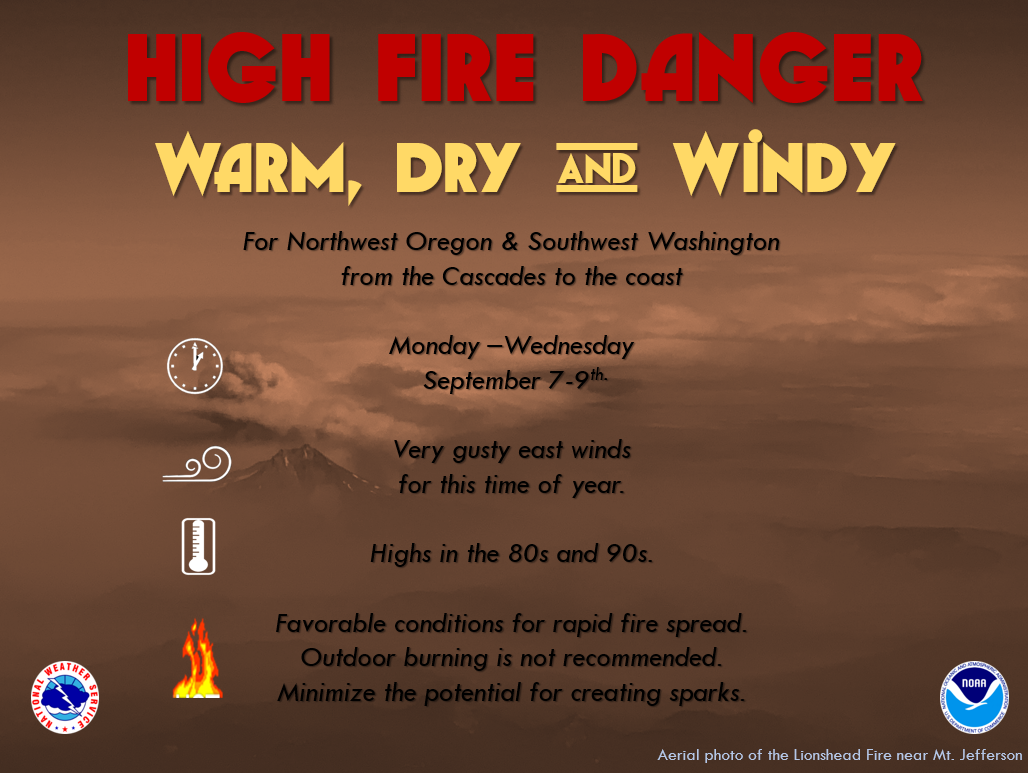
There was a recent change in the weather which is causing us to increase our restrictions and should be a concern for the forest community. During the NWS weather briefing on Saturday September 5th, they called for a potential historic east wind event for Monday Sept. 7th into Tuesday Sept. 8th. The forecast is below. Worst case scenario is we could see east winds in the 40-60 mph range. As weather is, this is highly variable and could change as we all know. Even so, we need to plan for this scenario to ensure we are prepared. Tuesday we could see temps along the coast in the 90’s with RH’s (RH – relative humidity) in the mid to upper teens. With this we will be moving NW-1 to an IFPL3 effective this Monday, September 7th @ 0100. Public Use Restrictions are also moving to Extreme in NW3, NW2, and NW1.
We are asking visitors to leave the Tillamook State Forest by Noon on Monday, and are closing gates where we have them. State Forest staff are patrolling the forest, educating visitors, checking fire equipment, and encouraging visitors to head home until the event has passed.
There was talk amongst the Northwest Oregon Area about potentially going to an IFPL4 across the area to limit a potential start during this event. We ultimately landed at remaining at an IFPL3 amongst the districts, and are strongly encouraging our landowners and operators to rely on their internal RH shutdowns of 30% which most of you have. We felt it was more important to have folks available and working in the event we get a new start and need additional help. We could run risk of folks not coming back from the long weekend if we were to go to a level 4. With this, my ask of you all is to closely monitor the RH’s where you are working and shut down appropriately. Our staff will be reaching out to small non-industrial landowners to make them aware of this weather event as well which are not part of this email group. Please pass the word and watch the weather.
Below is the quick summary from this morning’s fire weather forecast:
Fire Weather Planning Forecast for NW Oregon and SW Washington
National Weather Service Portland OR
656 AM PDT Sat Sep 5 2020
…FIRE WEATHER WATCHES IN EFFECT FOR GUSTY EAST WINDS AND LOW
RELATIVE HUMIDITY MONDAY THROUGH WEDNESDAY…
…STRONG AND POTENTIALLY HISTORIC EAST WIND EVENT EXPECTED MONDAY
NIGHT AND TUESDAY…
.BROADCAST DISCUSSION…Onshore flow brings cooler weather with higher humidity through this evening. Sunday will be warmer and drier inland with moderate north winds as thermal low pressure builds north from California. Strong east winds are expected to develop Monday and continue through at least Tuesday night, bringing critical fire conditions all the way to the coast.
.DISCUSSION…One more day of seasonably mild weather today before significant changes begin toward a much warmer, drier, and windier weather pattern for the first half of this upcoming week.
The thermal trough of low pressure along the southern Oregon coast is expected to strengthen Sunday, while higher pressure remains over Washington. This will drive moderate north-northeast flow along the Willamette Valley and across the central Coast Range of Oregon Sunday afternoon and evening,
similar to earlier this past week. Moisture lingering from this morning`s marine surge will likely mitigate RH to some extent, but there could easily be a couple hours of near-critical fire weather conditions where north winds and low RH line up Sunday afternoon.
However, this event will pale in comparison to the potentially historic East Wind event expected to begin Monday afternoon.
Unseasonably cold and strong high pressure will push south-southeast from the Yukon, while strong, thermally-induced low pressure holds along the central and southern Oregon Coast. The pressure gradient between these two features will drive strong to potentially very strong east to northeast winds Monday night and Tuesday, bringing hot and dry conditions all the way to the coast.
These winds will probably let up a little Tuesday night, but will probably still fall within the critical category. Pair the strong winds and very dry conditions, this has potential to see rapid fire spread rates develop for any lingering fires which occur prior and during the holiday weekend.
Conditions will improve Wednesday as the pressure gradients weaken across the Cascades and as thermal low progresses from the Willamette Valley and toward the crest. However, there is also some low level instability concerns as the thermal low does move inland and could vertically enhance smoke columns, particularly over the heavier fuels of the Cascades and foothills.


