By Gordon McCraw, Tillamook County Emergency Manager
Friday, January 7, 2022, 11:30am
Weather
Well, the heavy rain has finally pushed off to the east and we are now on the back side of the associated cold front so the snow levels will be dropping down to around 1600’ now. We will see periods of mainly light rainshowers under mostly cloudy skies, winds still a little breezy, from the west 10-15 gusting to near 30, the high near 50 but falling today. This is enabling the rivers, which have slowed their climb, to finally crest in the next few hours and begin to fall. The Nehalem River will crest just a hair over 18’, Flood Level is 15’. The Wilson River crest 14’, Flood Level is 12’. The Trask River has been steady at just under 15’ for hours, Flood Stage is 16.5’.
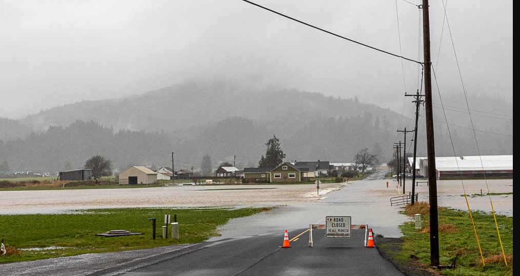
Between the flooding, landslides, and washouts, there are many highways impacted this morning. To the south, Hwy 20 is currently closed, but due to a crash. High water is impacting travel on Hwy 101 just north of Lincoln City. High Water is also reported on Hwy 22 at the intersection with Hwy 101. In Tillamook, North Main is flooded as is Hwy 6 under the railroad crossing on the east side of town. To the north, there is high water still on Hwy 101 in Seaside. There are some closures of other highways to the east as well. County Roads impacted by the rain includes: Wilson River Loop closed both directions, McDonald Dike Rd, Tideland Road, Alderbrook Rd, Resort Road at MP 1.28, and Lommen Rd. Conditions on these roads will slowly improve later today as the river level decrease.
The rain eases further tonight, ending by around midnight as high pressure builds in, the snow level down around 2000’, light winds, lows near 38. Tomorrow conditions improve further and by Sunday, mostly sunny skies but with east winds 8-12, highs near 53 still.
As for next week, another week, another Pacific system to watch. It looks like rain will return Monday afternoon or evening, the snow levels climb back up to 5000-6000’, though this may be delayed, depending on if the high pressure ridge will weaken and move to the east. The models are actually mixed on rain/no-rain, or delayed rain, through much of next week. For now, we will go with a chance of rain pretty much each day past the middle of next week, highs in the low to mid 50s, lows in the low to mid 40s.


