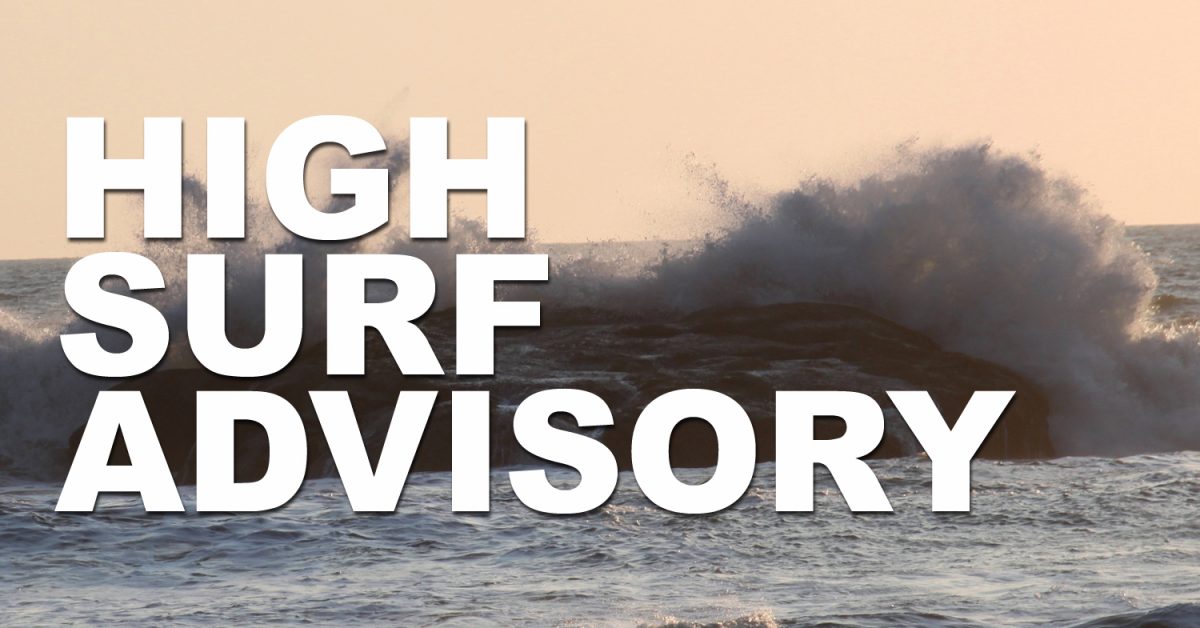
* WHAT…Large waves and hazardous surf conditions. Breakers up to 25 to 30 feet.
* WHERE…North and Central Coast of Oregon, and South Washington Coast.
* WHEN…From 7 AM Saturday to 10 PM PST Monday.
* IMPACTS…Destructive waves may wash over beaches, jetties, and other structures unexpectedly. People can be swept off rocks and jetties and drown while observing high surf. Minor beach erosion may damage coastal properties and buildings. Higher than normal water run-up is expected on beaches and low-lying shoreline. Enhanced possibility for sneaker waves.
* ADDITIONAL DETAILS…The largest breakers during this period are expected on Monday associated with the arrival of an energetic westerly swell.
* AFFECTED AREAS: CLATSOP COUNTY COAST … TILLAMOOK COUNTY COAST … CENTRAL COAST OF OREGON … SOUTH WASHINGTON COAST
Instructions:
A High Surf Advisory means that high surf will affect beaches, producing rip currents, sneaker waves and beach erosion. Stay well back from the water’s edge and be alert for exceptionally high waves. Keep away from large logs on the beach. Water running up on the beach can easily lift or roll logs which can injure or kill someone caught in their path.
Severity: Minor – Minimal to no known threat to life or property
Urgency: Expected – Responsive action SHOULD be taken soon (within next hour)
Certainty: Likely (p > ~50%)
Category: MET: Meteorological (inc. flood)
Event Description: High Surf Advisory


.png)