
.png)
…WIDESPREAD SNOW SHOWERS FROM TUESDAY NIGHT THROUGH WEDNESDAY… .Snow is expected late Tuesday through Wednesday across southwest Washington and northwest Oregon. Snow showers will be geographically dependent, and areas that receive more showers will see higher snow amounts.
* WHAT…For the first Winter Weather Advisory, snow. Additional snow accumulations up to one inch. For the second Winter Weather Advisory, snow expected. Total snow accumulations up to 3 inches.
* WHERE…Clatsop County and Tillamook County Coast, North Oregon Coast Range Lowlands, South Washington Coast, and Willapa and Wahkiakum Lowlands.
* WHEN…For the first Winter Weather Advisory, until 1 PM PST this afternoon. For the second Winter Weather Advisory, from 6 PM this evening to noon PST Wednesday.
* IMPACTS…Roads, and especially bridges and overpasses, will likely become slick and hazardous.
* AFFECTED AREAS: CLATSOP COUNTY COAST … TILLAMOOK COUNTY COAST … NORTH OREGON COAST RANGE LOWLANDS … SOUTH WASHINGTON COAST … WILLAPA AND WAHKIAKUM LOWLANDS
Instructions:
Have a winter emergency driving kit readily available. Common items to include: flashlight, batteries, blankets, a shovel, water, non-perishable food items, tire chains, etc. Be aware that walking surfaces may be slick. Walk with extra care. For the latest road conditions and chain restrictions in Oregon, call 5 1 1, or visit: www.tripcheck.com. For the latest road conditions and chain restrictions in Washington, visit: wsdot.com/travel/real-time/map
Severity: Moderate – Possible threat to life or property
Urgency: Expected – Responsive action SHOULD be taken soon (within next hour)
Certainty: Likely (p > ~50%)
Category: MET: Meteorological (inc. flood)
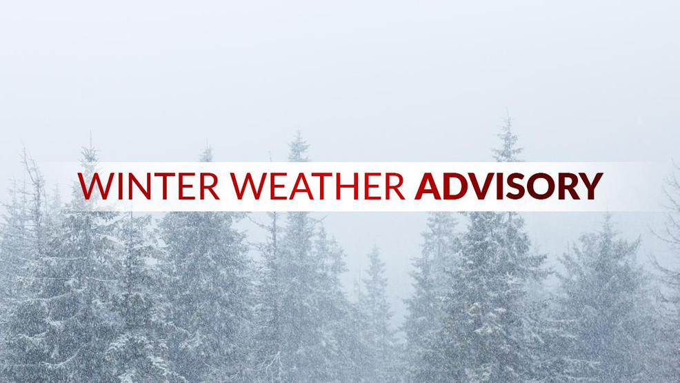
Event Description: Winter Weather Advisory