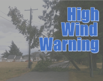
* WHAT…Southwest winds 20 to 30 mph with gusts between 50 to 60 mph expected. The strongest wind gusts are expected over exposed peaks and ridges.
* WHERE…In Oregon, Coast Range of Northwest Oregon and Central Coast Range of Western Oregon. In Washington, Willapa Hills.
* WHEN…From 11 PM this evening to 8 PM PDT Monday.
* IMPACTS…Damaging winds will blow down trees and power lines. Power outages are possible, but should remain rather isolated. Travel will be difficult, especially for high profile vehicles.
* ADDITIONAL DETAILS…The strongest winds are expected between 12 AM and 8 AM PDT Monday. After 8 AM Monday, high winds will become more localized and will be associated with the strongest showers or thunderstorms.
* AFFECTED AREAS: COAST RANGE OF NORTHWEST OREGON … CENTRAL COAST RANGE OF WESTERN OREGON … WILLAPA HILLS
Instructions:
People should avoid being outside in forested areas and around trees and branches. If possible, remain in the lower levels of your home during the windstorm, and avoid windows. Use caution if you must drive.
Severity: Severe – Significant threat to life or property
Urgency: Expected – Responsive action SHOULD be taken soon (within next hour)
Certainty: Likely (p > ~50%)
Category: MET: Meteorological (inc. flood)


