")
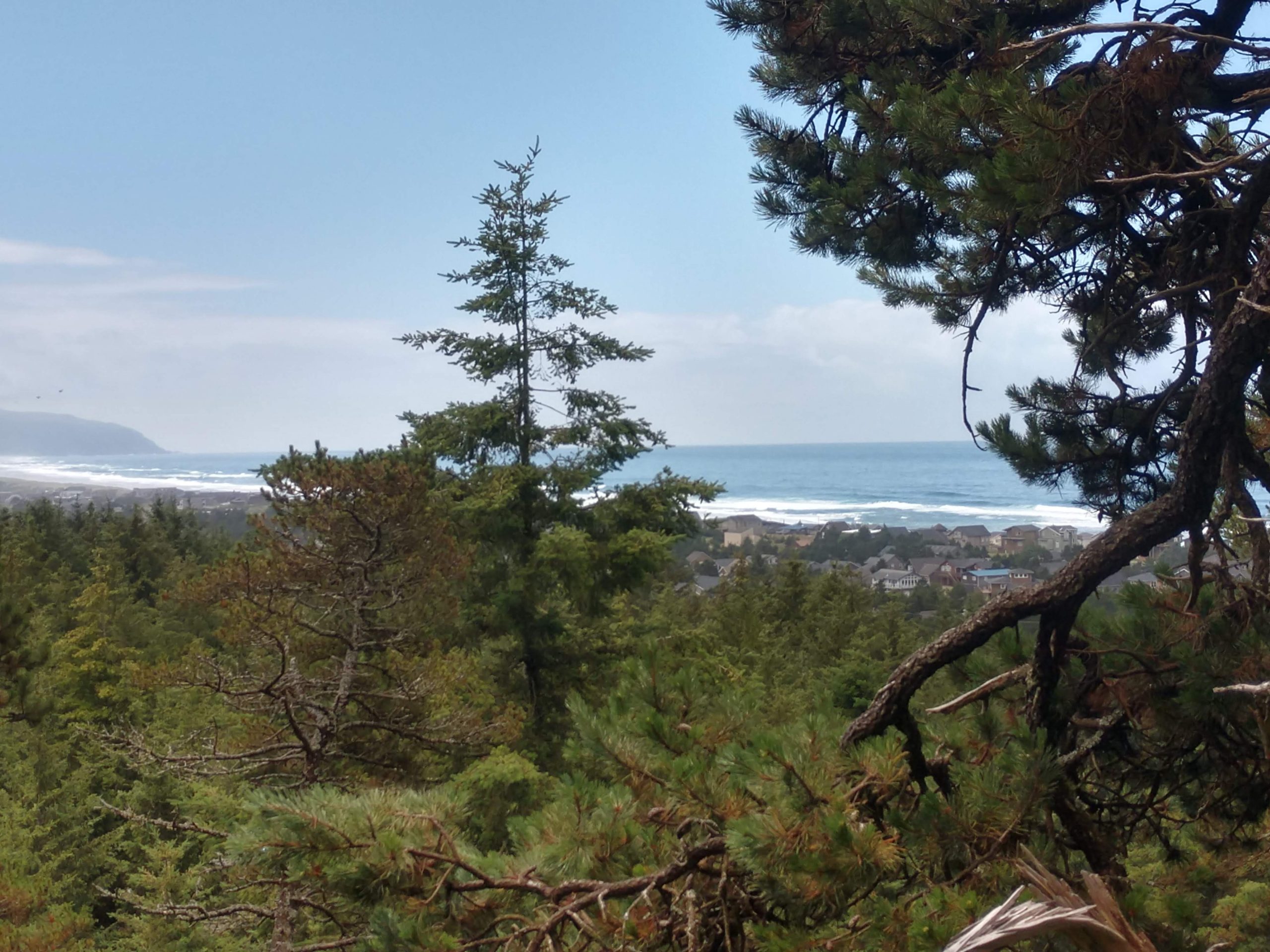

Imagine if there was a map that included all the outdoor recreation amenities and trails in Tillamook County. How cool would it be to have a convenient way to find places to hike, ride, paddle, bike and bird watch within minutes from where you live?
Thanks to a partnership between Tillamook County Wellness (TCW), Visit Tillamook Coast, Northwest Youth Corps and the U.S. Forest Service, having access to this exciting resource is closer than you might imagine. Beginning in January 2020, efforts have been underway to build a GIS (Geographic Information System) database and map for all recreational opportunities throughout Tillamook County. GIS Intern, Samantha “Sam” Goodwin and TCW Access to Physical Activity (APAC) Co-Chair, Marty Wisehart, were recently interviewed on KTIL’s Tillamook Today show to share more about the project.
“There are hundreds of recreation activities in Tillamook County,” Goodwin stated in her interview, “but right now people have to search all around from individual sites like State Parks or the Oregon Department of Forestry to find what there is to do here.” Sam has worked with local, state and federal agencies to gather all that data and put it into one system. In the process, she has discovered many local waysides, waterfalls, parks and community pathways for which there is no official information. “We’re building a one-stop place for recreation,” says Sam. “This is really meant to help locals get out and enjoy activities and the natural beauty we have here.” Nan Devlin, Executive Director for Visit Tillamook Coast, states that “what is good for locals is also good for visitors and vice versa,” noting that Transient Lodging Tax (TLT) revenue directed to her organization is being used to support this work.
The map includes details for all trail types, surfaces and difficulty levels, as well as access for people with disabilities. It will be sortable by different types of activities, including boat launches and water trails, making it easier for people to plan outings. And, for people worried about their secret destinations being discovered by the masses, county leaders acknowledge this is already happening. County Commissioner, Bill Baertlein emphasizes, “Visitors are already coming and will continue to travel here to enjoy our trails and outdoor recreation. This map and the processes supporting it will help us get out in front of the issue and be proactive rather than reactive.” Leaders also state that having more places on the map helps spread activity around, preventing heavily visited areas from being “loved to death.”
Tourism leaders agree that increasing recreation within the local population instills a sense of pride and ownership, creating stewards who help protect these beautiful places. North Coast Tourism Management Network’s volunteer beach and trailhead ambassador program is one example, as are volunteer opportunities through the local chapter of Trailkeepers of Oregon. For information on how to volunteer as an ambassador contact Arica Sears at icom@thepeoplescoast.com and to learn more about Trailkeepers visit https://www.trailkeepersoforegon.org/get-involved/.
Thanks to an extension of funding and on-going support from the sponsoring agencies, the GIS mapping project will continue until all identified locations are completely mapped and approved by governing agencies. Next the group will determine how users can access the map platform on-line. Michelle Jenck, Tillamook County Wellness Coordinator indicates there is a plan to include a page or link from their new website scheduled to launch this summer.
Like and follow Tillamook County Wellness on Facebook, Instagram and Twitter. New Tillamook County Wellness website coming soon!